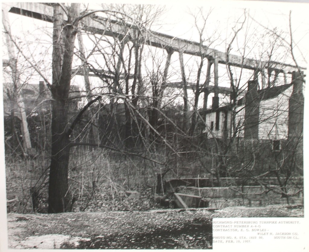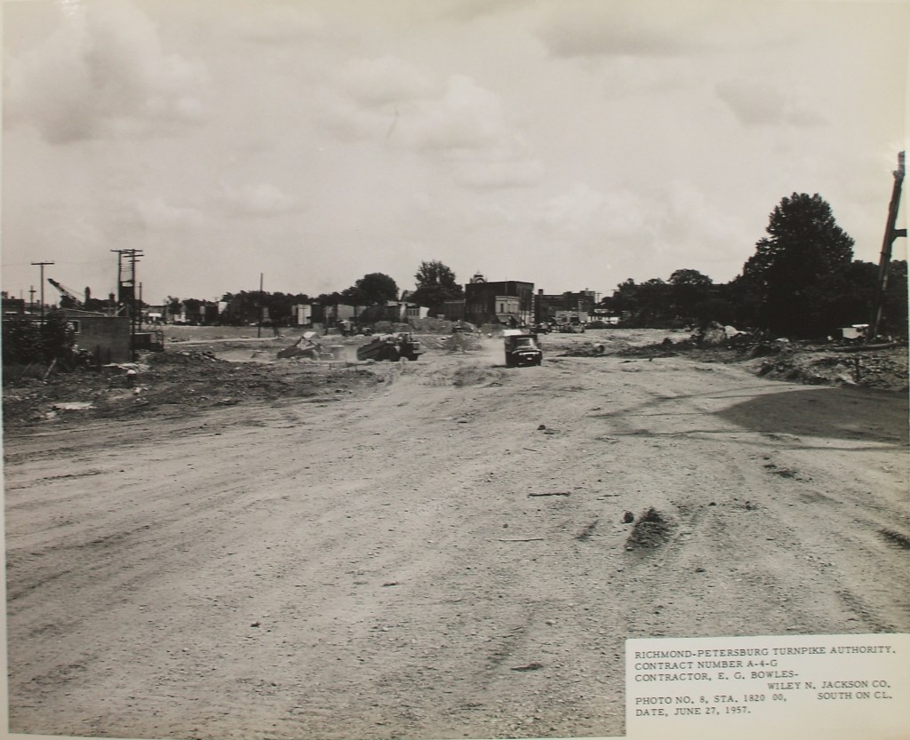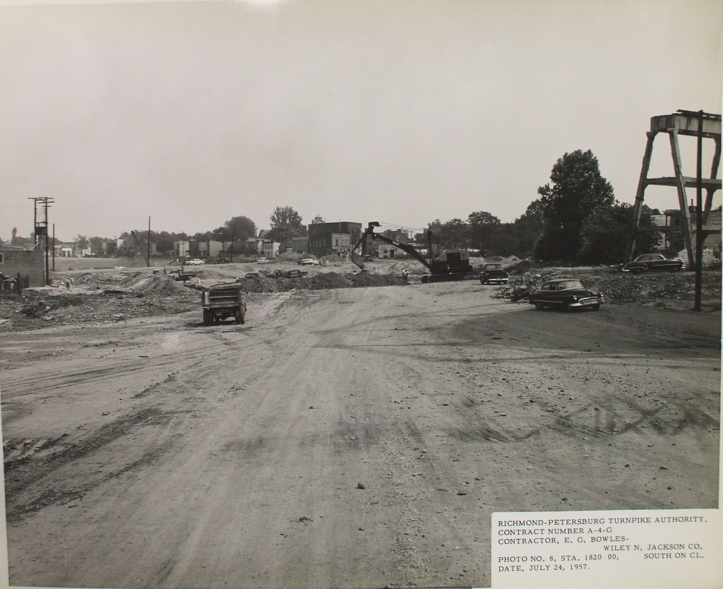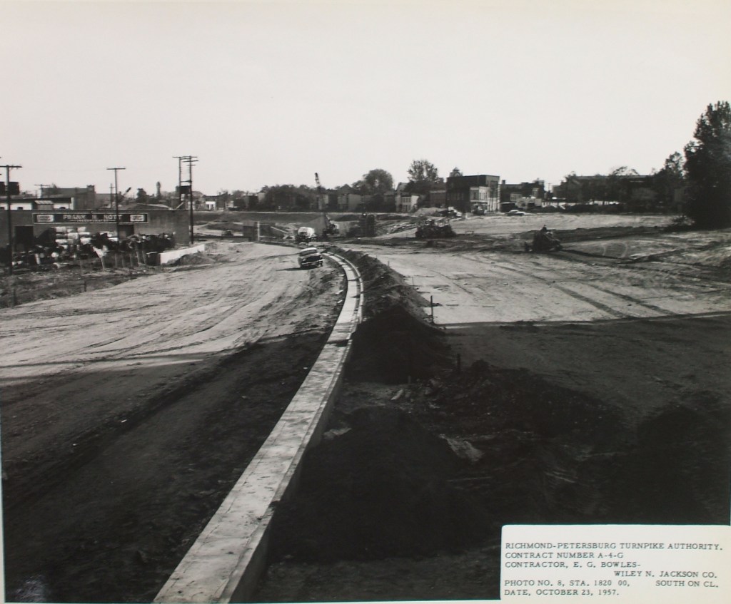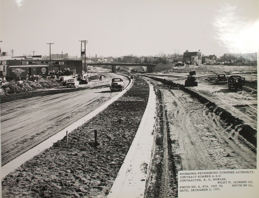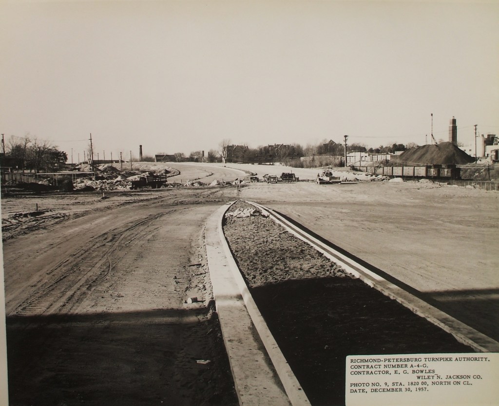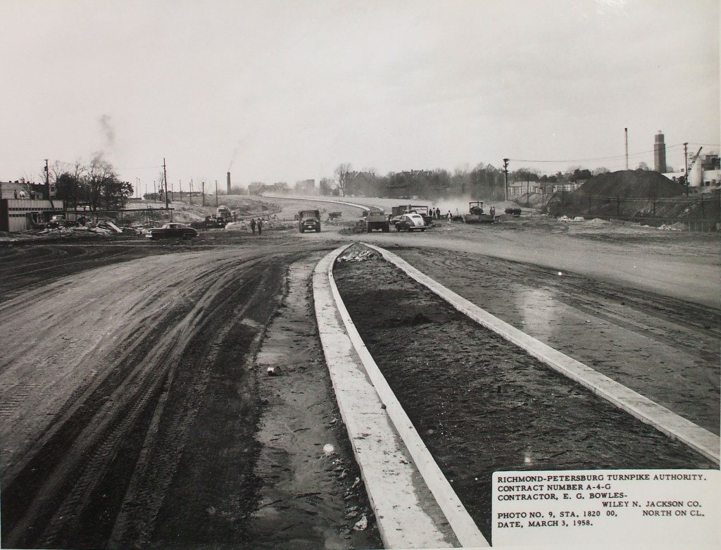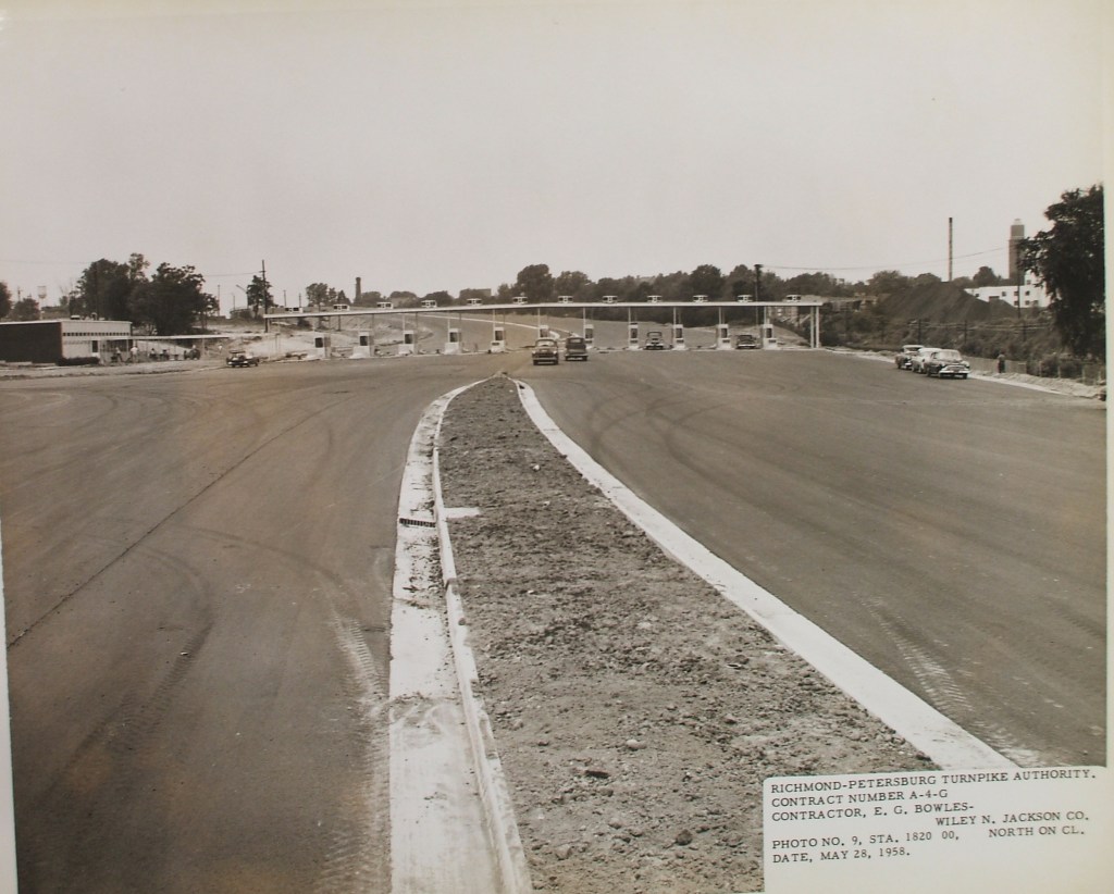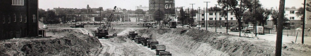
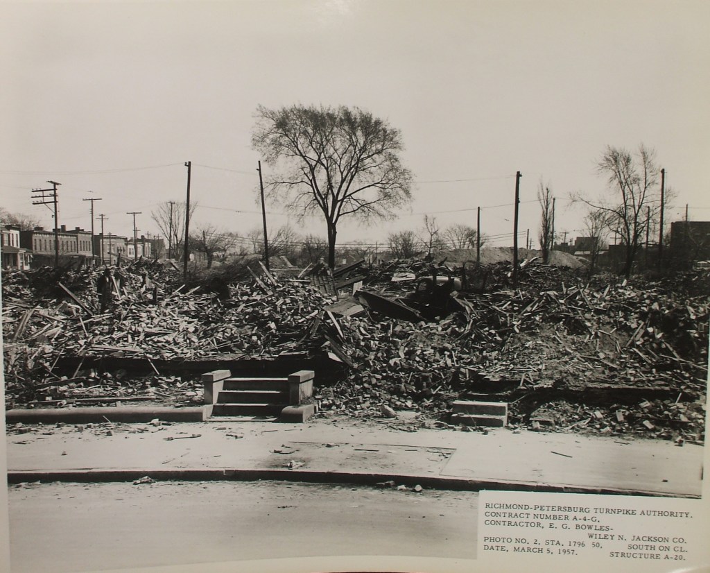
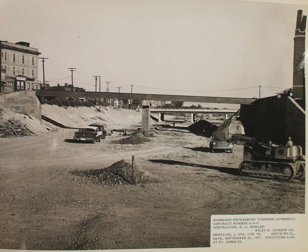
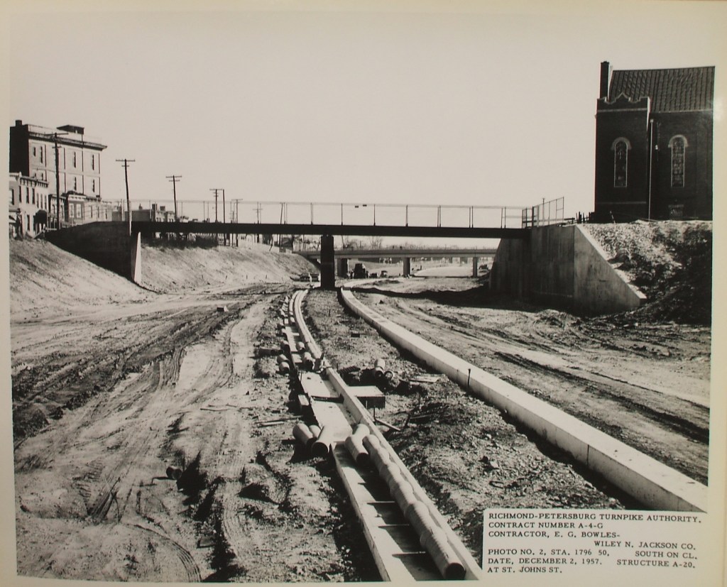
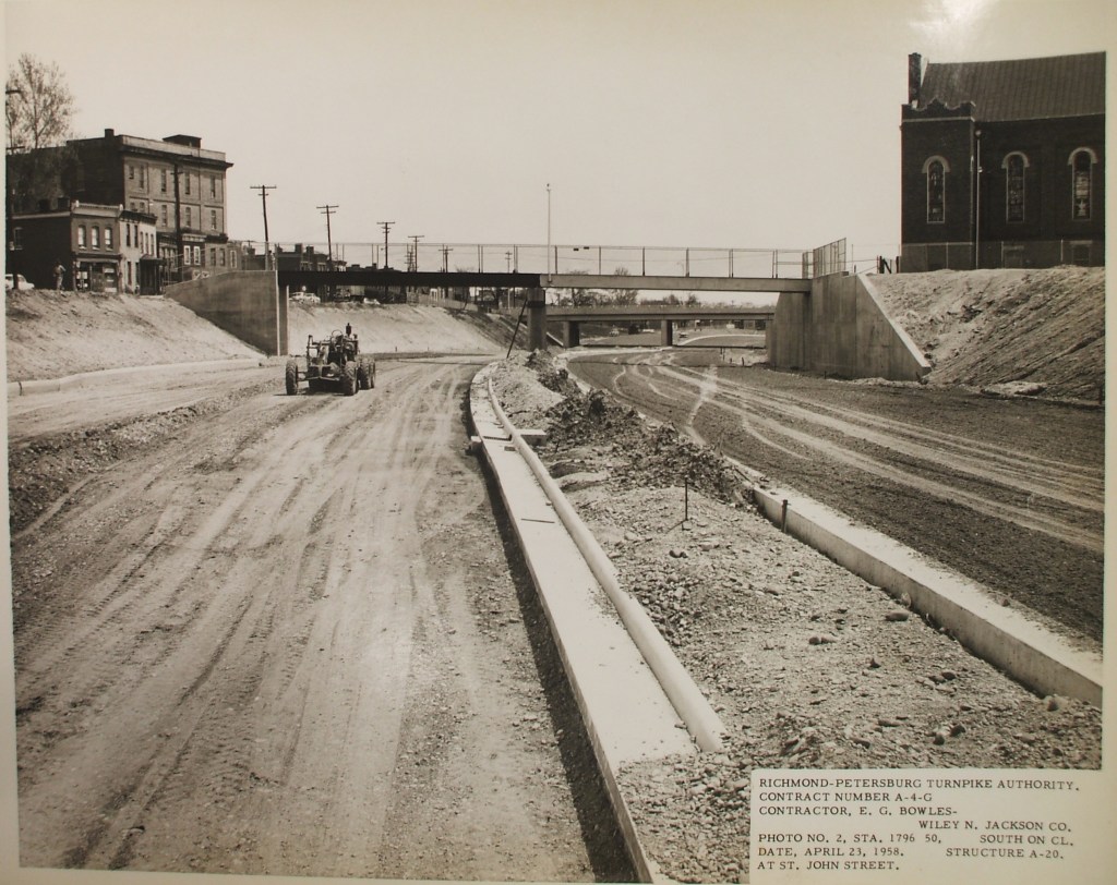
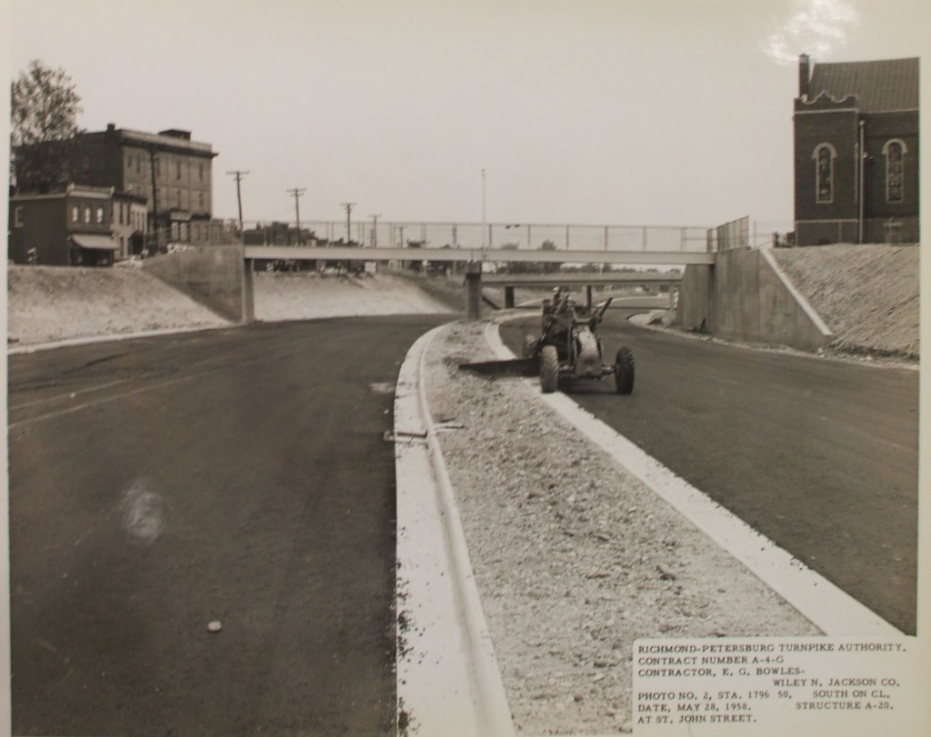
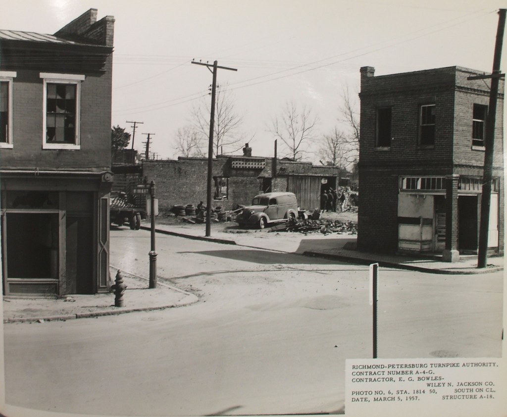
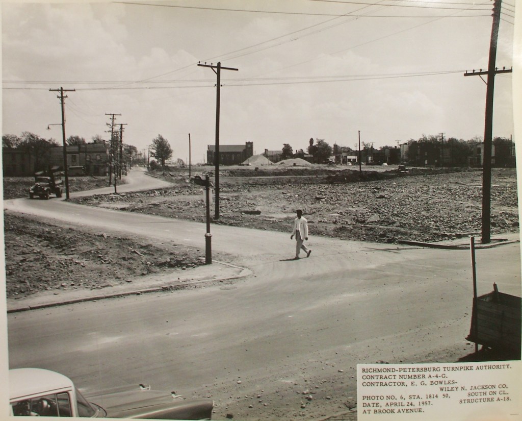
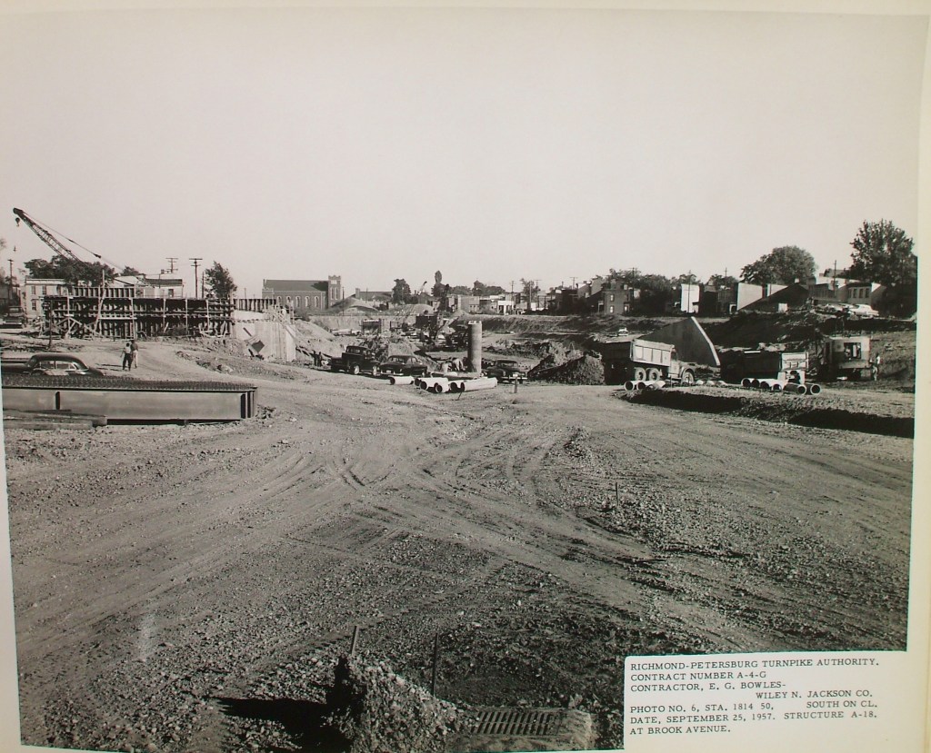
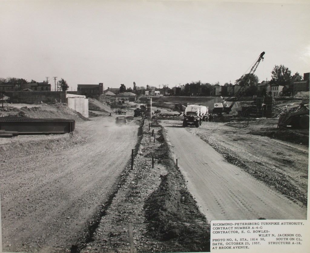
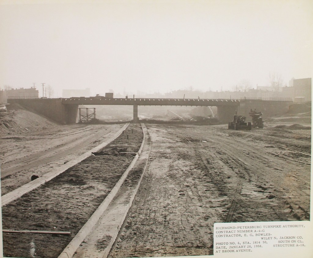
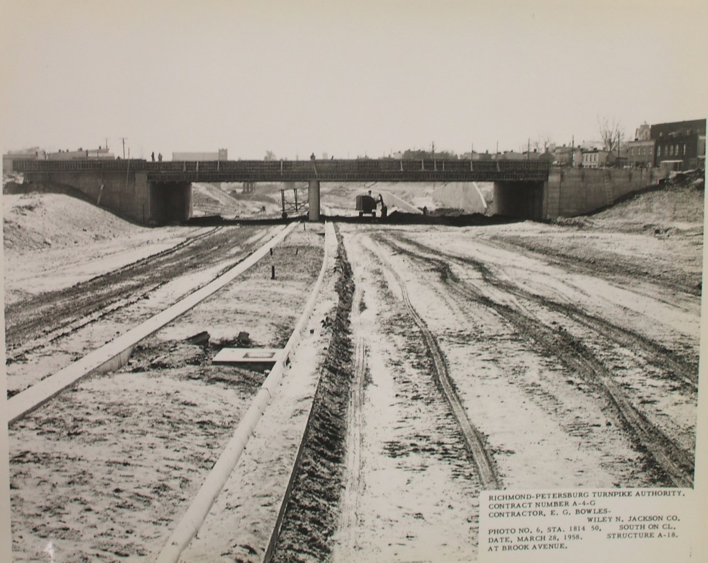
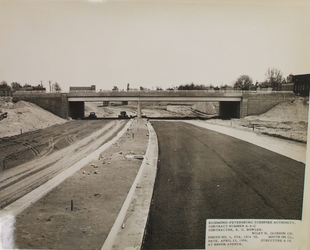
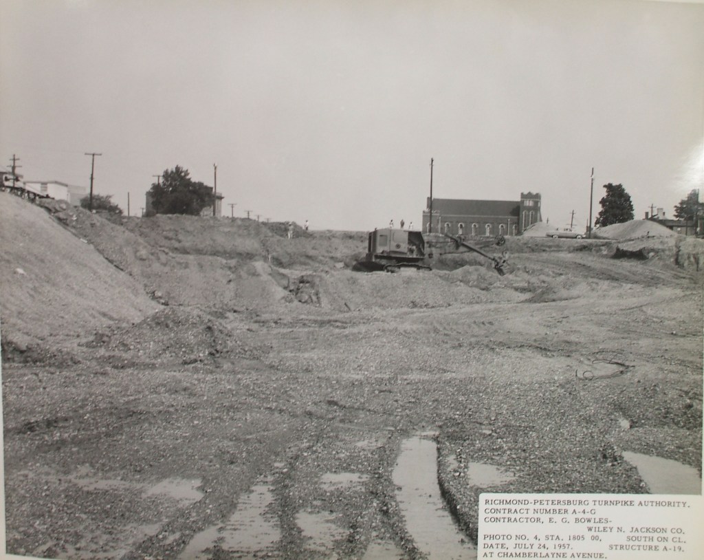
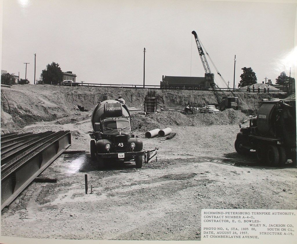
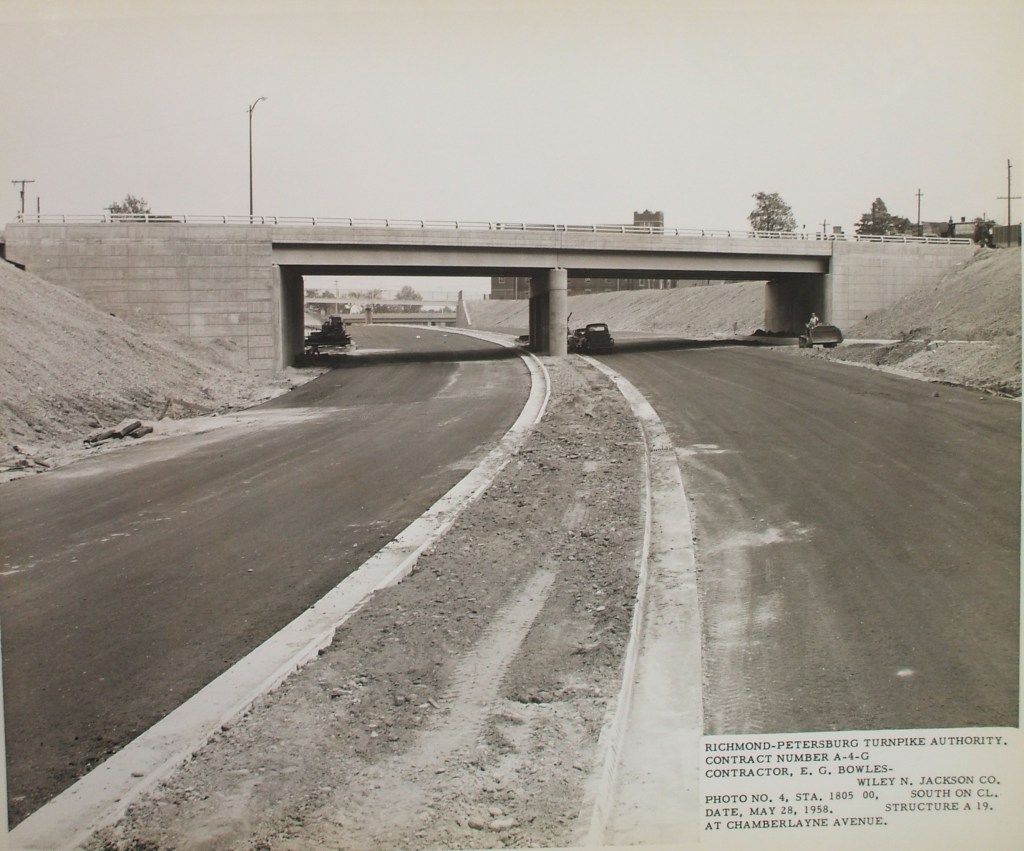
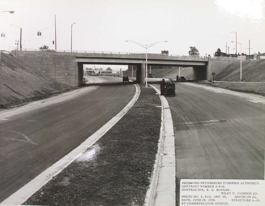
At the Library of Virginia there is an archive containing “works in progress” photos that reveal, through crisp and professional images, the drama of this highway story. After three years of mostly text-based research, these photos told me more than I ever dreamed I could know about the process of destruction that preceded the highway. Unfortunately, these copies are pretty low-quality, but anyone can go to the archives and get a professional copy made. My primary research focus was on the neighborhood of Jackson Ward and I collected work in progress photos from five locations in the neighborhood. Below, I have laid out the most compelling Jackson Ward series for a closer look. The rest of the photos can be found in galleries at the bottom of this page.
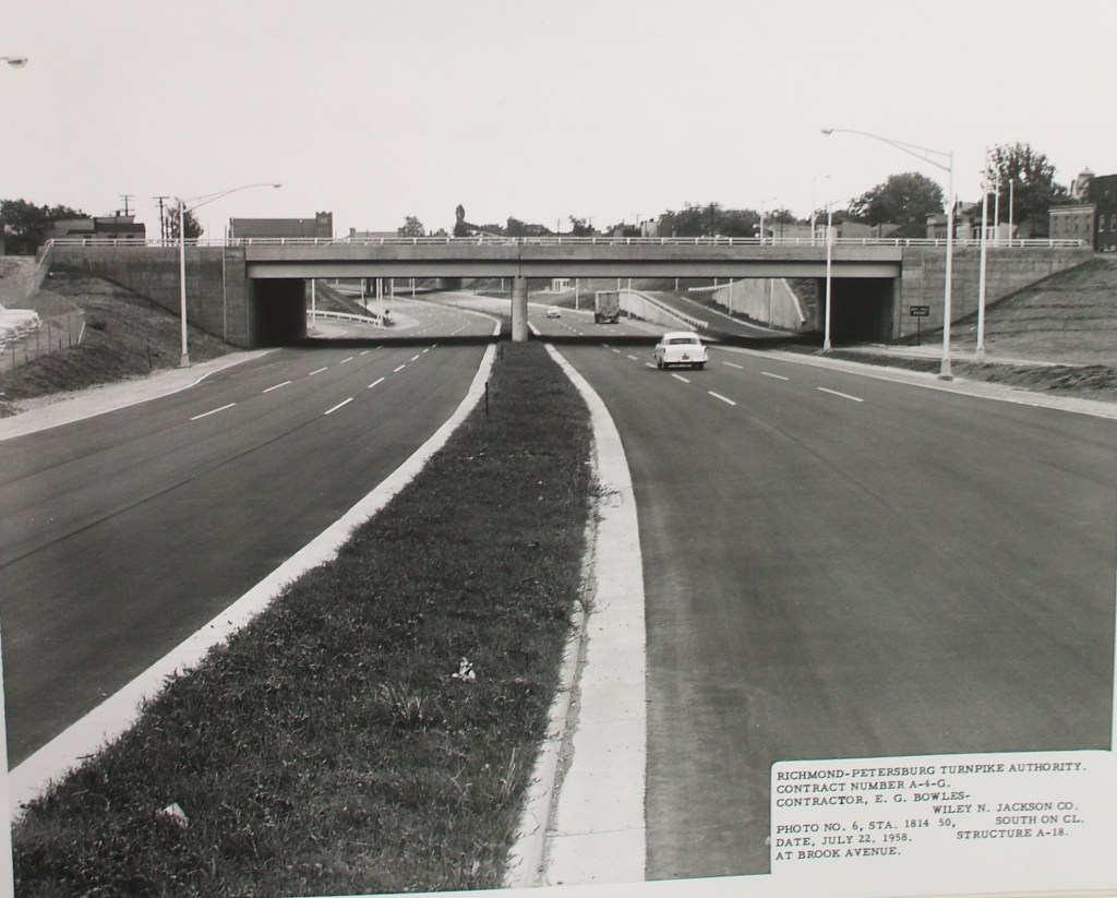
These photos were taken looking west through Jackson Ward, what is now I-95/64. This is what it used to look like, these are the people that used to live there. When I first found these photos, I couldn’t stop looking at the houses, the cars, the clothes, the trees. What were the women on the bridge talking about? What were they looking at? I find these photos to be a stunning, provocative, and important chapter in the history of this city.

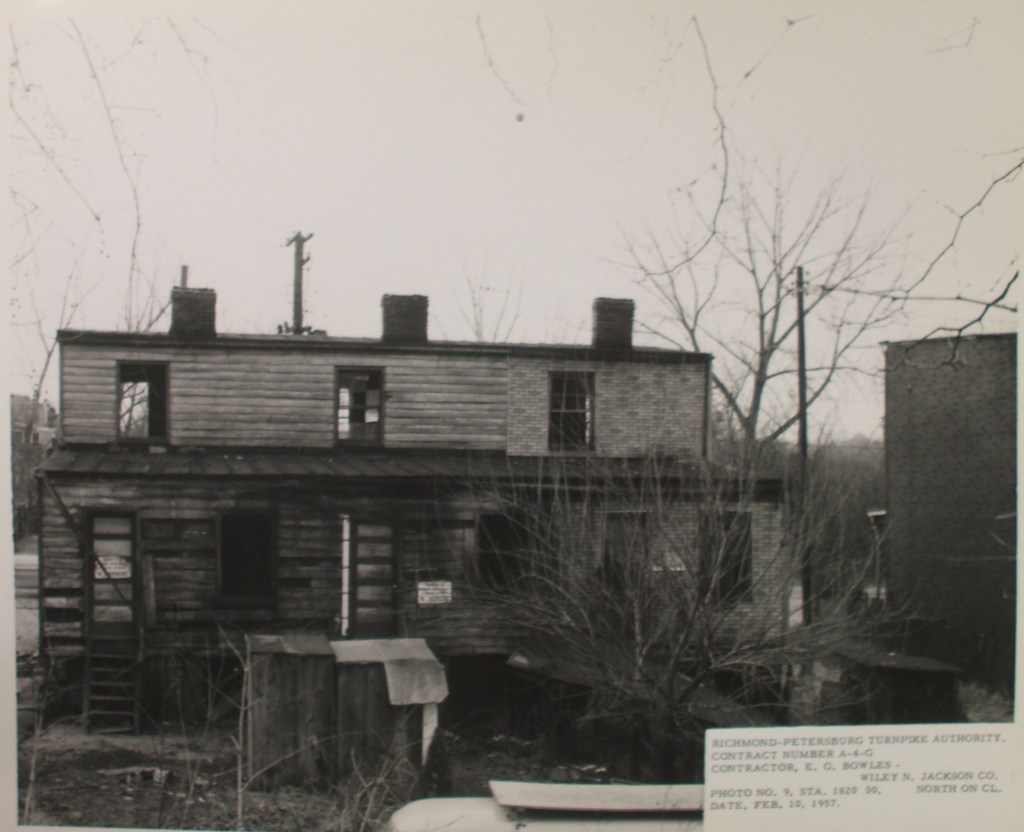
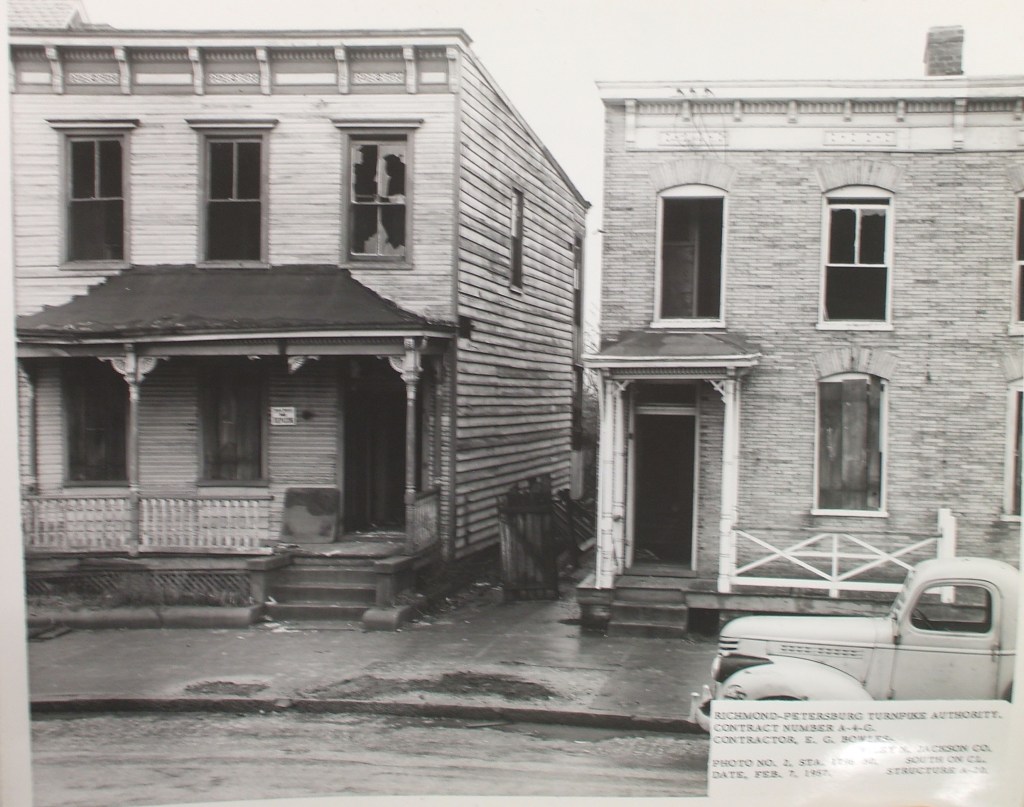
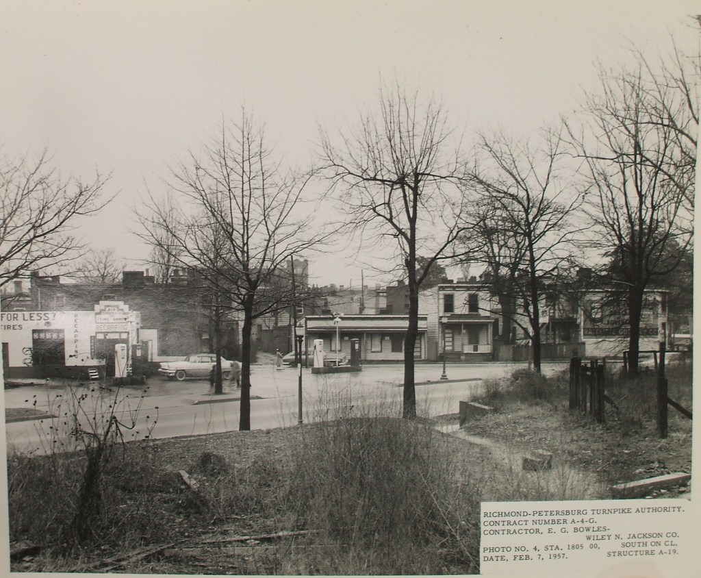
This photo is the closest I could get to the way the neighborhood of Jackson Ward looked before much of it was destroyed. Dated February 7, 1947, this photo was taken just a year and four months before the last photo of this series. As you will see, literally nothing of this space remains today, the very earth under these houses would be dug out and carried away.

The process of highway building in America was frequently connected to the “benefit” of urban slum clearance. There were hallowed halls within this neighborhood: churches, homes, and parks where people raised their children, came of age, mourned the loss of loved ones. These places are gone. And along with the places went the memories they once provoked.
Aidan Southall, in The City in Time and Space, had this to say about the losses incurred during this era of American history: “It is astonishing that the Urban Renewal programme which so many happily took to be a sharing of general prosperity with the poor and the raising of slum families to decent housing and standards of living, turns out to have been another bitter hoax and had the opposite effect, causing the net loss of some 2,500,000 housing units to the poor — more than Germany lost from saturation bombing in World War II.”

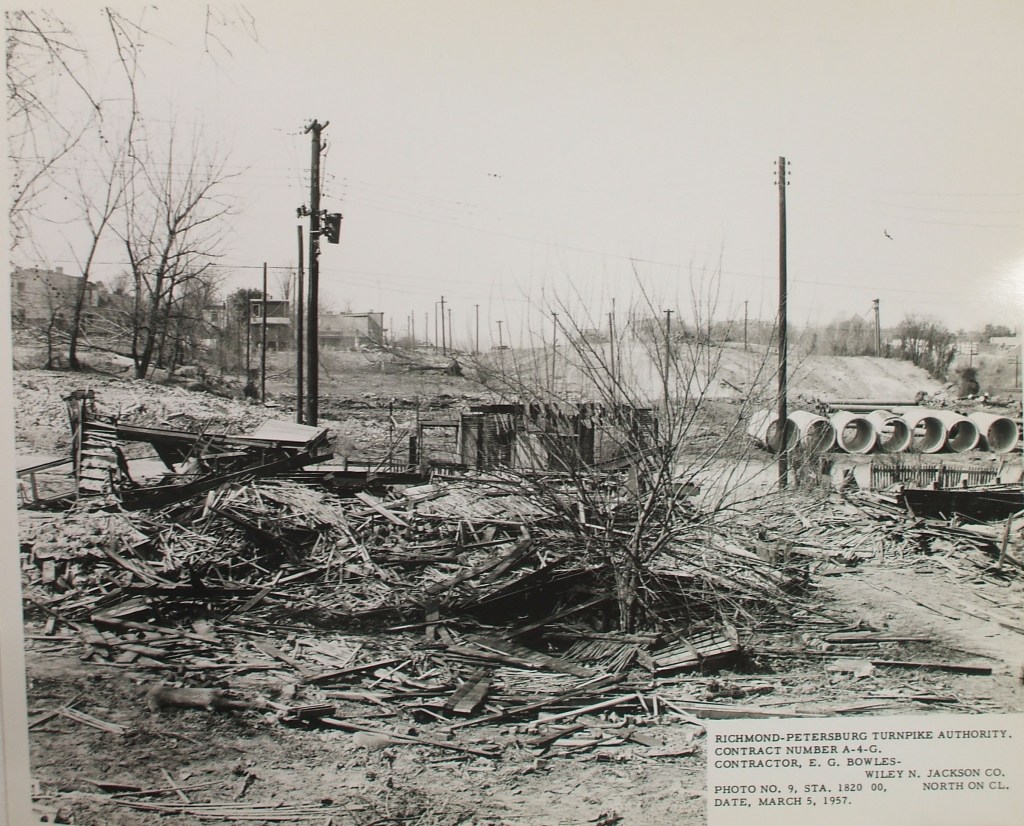
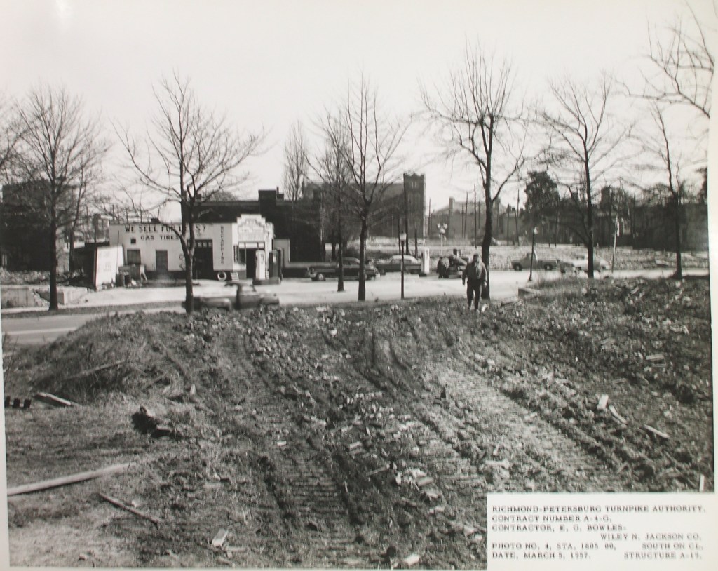
In just 48 days, there is nothing left besides some utility poles, a stump where there was a tree, and roads through the wasteland. The city block is now completely cleared of any memory of anything or anyone that once stood in this space. Sixth Mt. Zion is now exposed and isolated, a parish without it’s parishioners.
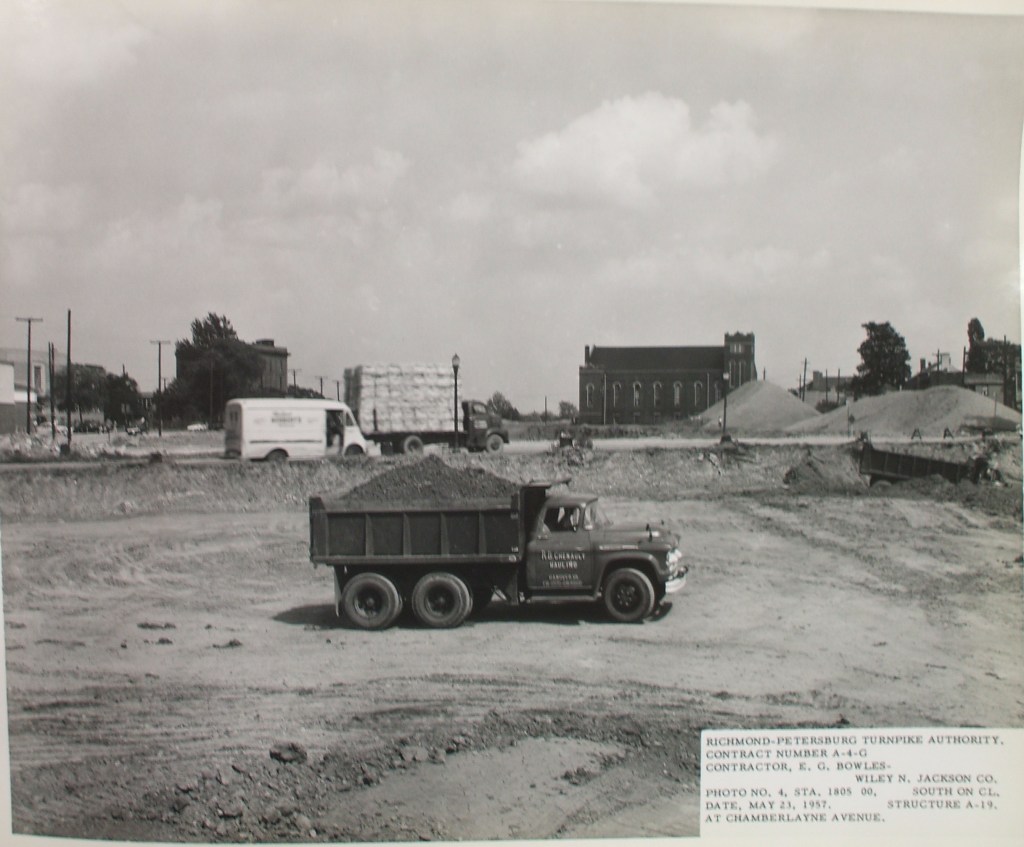
This next photo, to me the most profound in the series depicts two women standing in the road talking to each other while a convoy of seven trucks appears to carry away rubble. Pause for just a moment and linger on the fact that the photo below was taken less than a month after the space was fully cleared.

In his reflections on post-Katrina New Orleans, Stephen Verderber made a connection that is relevant to this moment in Richmond’s history,
“Robert Bevan reasoned in his book The Destruction of memory: Architecture at War (2006) that the machine-like destruction of symbolic buildings and the physical fabric of cities and civilizations is not merely collateral damage, but a deliberate campaign by attackers to ‘dominate, divide, terrorize, and eliminate’ the memory, history, and identity of the opposing side.’ (Delirious New Orleans: Manifesto for an Extraordinary American City, 218).
Not just collateral damage, but the total disregard for community, dignity, economic investment, personal property, memory, and posterity. If you were born a few blocks north of Sixth Mount Zion, you would no longer have the chance to walk through the streets of your childhood, visit and overcome your oldest demons, feel the subtle warmth of nostalgia. You would not have the privilege I have of watching the trees of your childhood grow tall, the community shift, houses repainted. You may be hesitant to buy again, to bother investing in another community, you might never have trusted the systems that took so much away from you.

In this image, Sixth Mount Zion appears to stand in defiance as a relic and a monument to the past. Founded by formerly enslaved people after the Civil War, the church has lived through incredible changes in American society. The construction of this highway no doubt had a permanent effect on the congregation of the church and the culture of the congregants. Those who moved away might have still commuted in for church, but eventually I imagine many moved on. Their source of community support and pride had been destroyed.

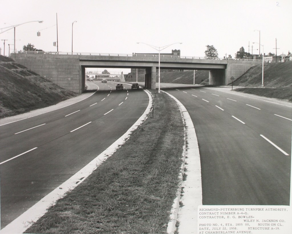
Today, millions of people drive on this highway rarely pausing to think that it has not always existed in this space. Many may remark that Jackson Ward is a neighborhood in disrepair, that Richmond is a blighted urban place. My hope is that with a knowledge of the history of this highway we will begin to develop a healthy appreciation for the sacrifice that was required to build these roads through our cities and we will do whatever we can to repair the damage.
Central Jackson Ward looking east (from the other side of Sixth Mount Zion)
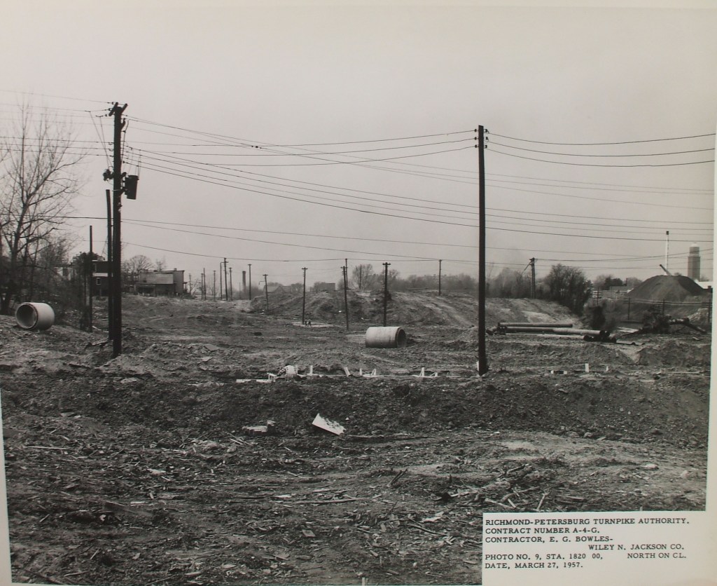
Central Jackson Ward looking west (from a station East of the one above)
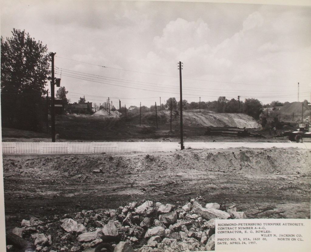
Central Jackson Ward looking East (from a station west of the one above)
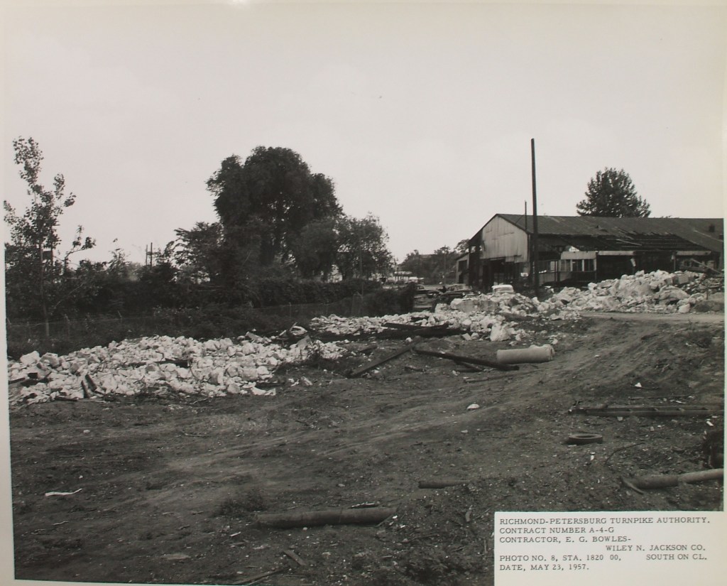
Central Jackson Ward looking west (from a station near the one above) – according to the station number, these photos were taking at the same place, but it is a little hard to follow the series